Day 10 - Wednesday, Sept 12 - Boise, ID to Klamath Falls, OR
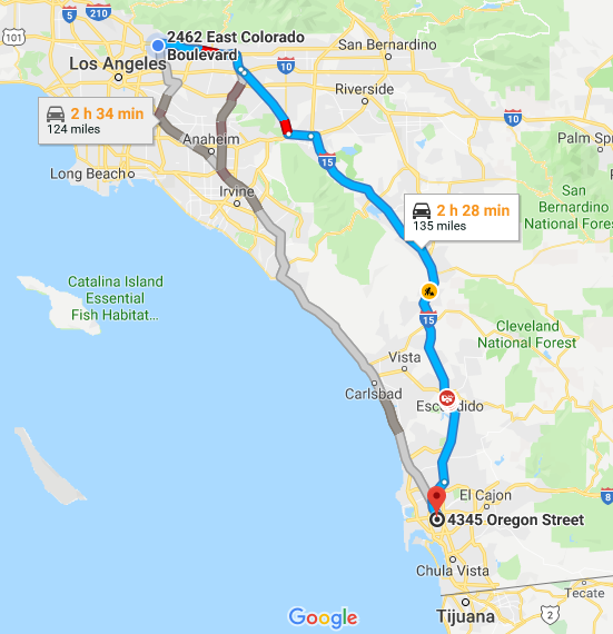
Starting mileage: 3099 Starting time: 8:00 am
Ending mileage: 3525 Ending time: 4:00 pm
Travel mileage: 435 Travel time: 9:00 hours (with time change)
Today was mostly a driving day although we enjoy just watching the scenery and agriculture.
It is still very arid and the only agriculture is where there is irrigation of some sort. On the first part of the trip, there was ditch irrigation where water from canals is pumped into fields that have small channels between the rows of crops like corn and sugar beets. Later in our trip today, the hay fields were being irrigated with large wheeled sprayers that move either in a circle or across the field.
We saw onions that were in the first stage of harvesting, that were pulled up and drying on the ground, later to be picked up. We did see trucks that were overflowing with onions that were harvested. There was also a mushroom farm although this is all inside - with all the horses in the area, this is probably a good crop.
The south-central part of Idaho is considered a "high desert" - it isn't much different from what one would see in southern Arizona or New Mexico, lots of sagebrush, although no yucca or cactus.
It was interesting to see the "Albert Rim", a long series of mountains at a geological fault where the mountains are being pushed up at one edge and the adjacent edge is going down, as seen in the photo below. When we came to Albert Lake, we thought it was a dry lake bed with fine salt swirling above due to the wind but it turned out to have absolutely still water that was reflecting the clouds above as we drove - quite a sight!
We are staying in Klamath Falls and thought that we would check out the falls that the city is named after. After searching for the entrance to a large park along the river, we found a chained entrance with no signs that it was the park, although it is prominent on Google Maps. We walked in and there wasn't much to see other than some small rapids below a small hydroelectric dam and the large pipe carrying water to a hydroelectric plant somewhere downstream. When we asked our waiter at dinner, he said there weren't really any falls and they weren't much bigger than the fountain in the restaurant lobby!
 |
| Day 10 map |
 |
| Mirror image in Albert Lake |
 |
| Albert Rim rising on left, Albert Lake on right |
 |
| Typical roadside seen of high desert |


Comments
Post a Comment